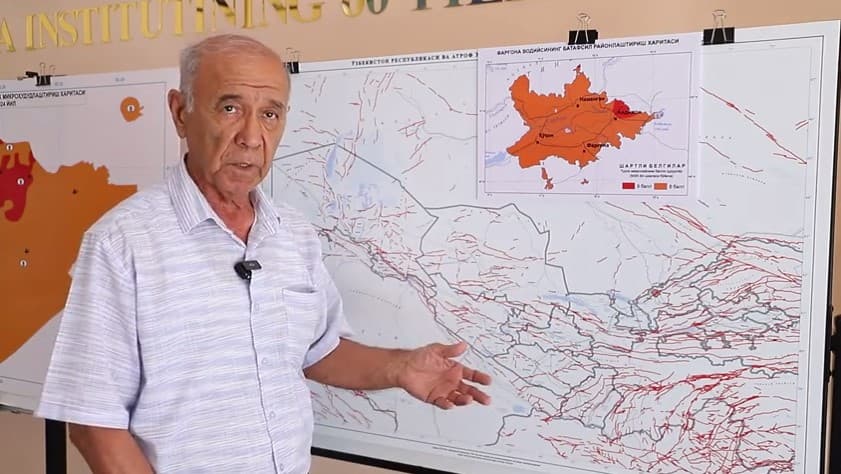
According to the Republican Center for Seismic Prognostic Monitoring under the Ministry of Emergency Situations, on August 16, at 02:58 Tashkent time, an earthquake occurred in Kyrgyzstan.
The distance from the epicenter to Tashkent is 405 km in the southeast direction. Coordinates: 39.89 degrees north latitude; 73.66 degrees east longitude, the depth – 10 km.
Strength of tremors on the territory of Uzbekistan:
- Namangan: 208 km, 2 points.
- Andijan: 149 km, 3 points.
- Fergana: 169 km, 3 points.