The project is implemented in collaboration with the United Nations Economic and Social Commission for Asia and the Pacific (ESCAP). Uzbekcosmos announced this initiative during a seminar attended by local and international experts.
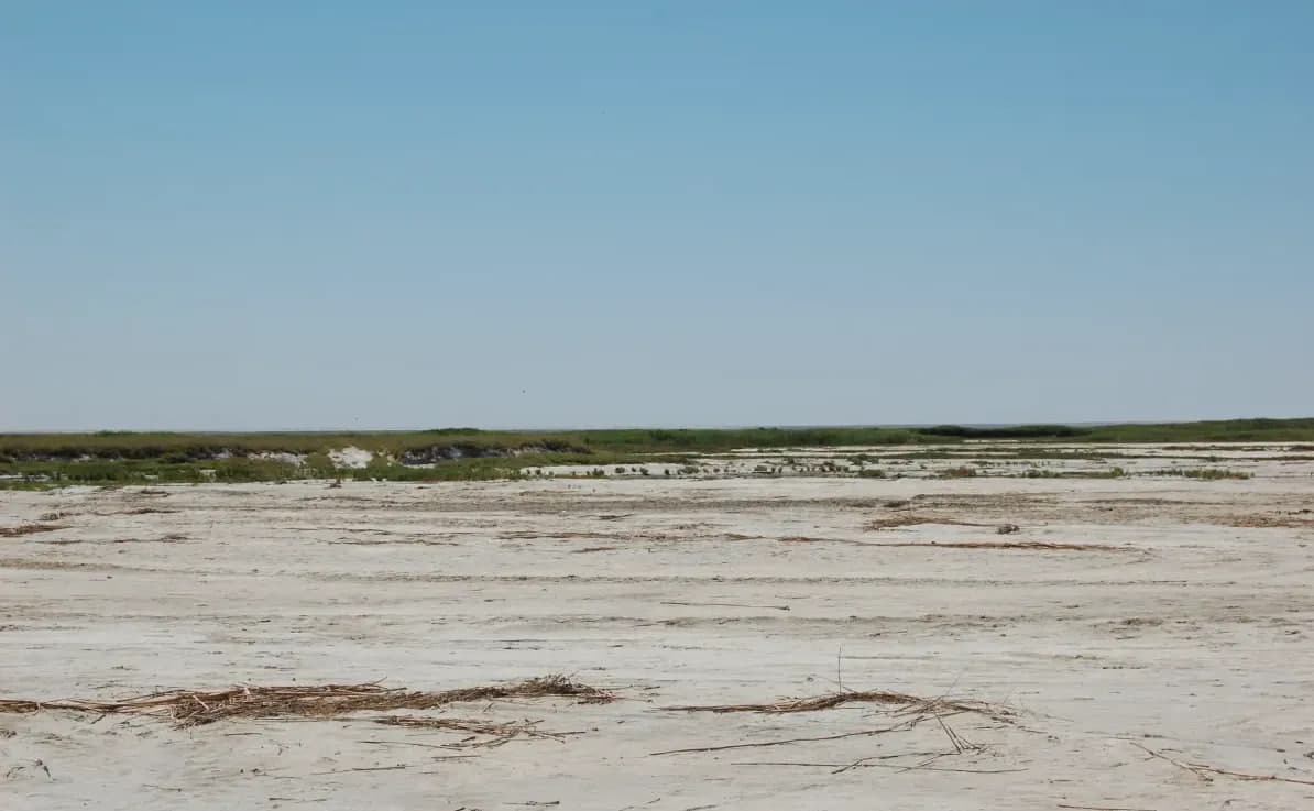
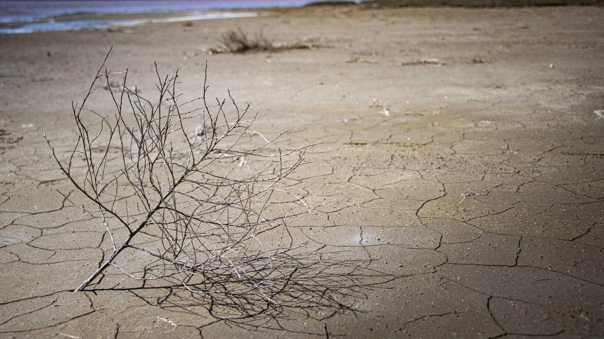
According to Uzbekcosmos, 1.74 million hectares of land in Uzbekistan are affected by varying degrees of salinity, with 65,200 hectares classified as severely saline. Furthermore, 5.5 million hectares have turned into salt flats due to the desiccation of the Aral Sea.
"Salinization reduces water availability for plants, degrades soil fertility, and leads to the loss of essential minerals and trace elements. As a result, monitoring and finding solutions in this area remains a high priority," explained Ismoil Rasulov, Head of the Department of Science, Innovations and Technology Transfer at Uzbekcosmos.
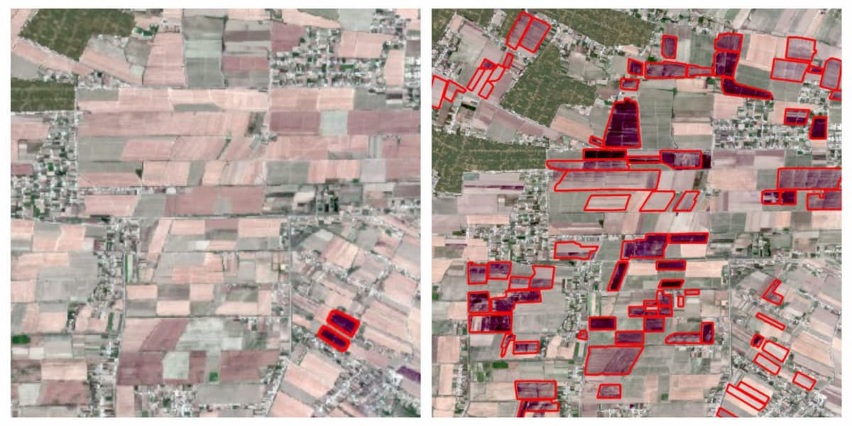
The project will monitor 90 agricultural areas in the Zarbdar district and surrounding territories in the Jizzakh region. Over the course of two years, specialists will assess the soil salinity levels in these areas. To evaluate this, the vegetation (NDVI) and salinity (SSI) indices will be employed, as explained by Farhod Mahmudkhodjaev, head of the Space Monitoring and Geoinformation Technology Center.
Both indices are derived from satellite images that capture not only the visible spectrum (RGB, which appears as a regular satellite image) but also infrared and other invisible wavelengths. The NDVI index will assess the state and density of vegetation, while the SSI index will measure the degree of soil salinity in the region.
However, the use of only these two indices for soil salinity monitoring may not be sufficient, noted Professor Miao Lu from the Chinese Academy of Agricultural Sciences. Additional vegetation indices can further improve the accuracy of the analysis. These include the Soil-Adjusted Vegetation Index (SAVI), the Ratio Vegetation Index (RVI), as well as specialized salinity indices like the Normalized Difference Salinity Index (NDSI) and Soil Salinity Indices (SSI).
Uzbekcosmos intends to consider these recommendations, but for the pilot project, which aims to demonstrate the feasibility of such monitoring, additional indices will not be used.
The project will reduce the need for large-scale field sampling, accelerate data collection, lower laboratory research costs, and automate soil salinity assessments, said Farhod Mahmudkhodjaev. Monitoring soil salinity across vast areas will become more efficient, making it easier to identify affected zones and decreasing the volume of field research.